MH370 and the Most Costly Search in Aviation History as New Underwater Technology Rekindles Hope
More than a decade after Malaysia Airlines Flight MH370 vanished from radar, the mystery continues to haunt aviation experts, governments, and the families of the 239 people on board.
Since its disappearance in March 2014, the global search for the missing Boeing 777 has become the most expensive operation in aviation history, with estimated costs ranging from 135 million to 160 million dollars.
Despite years of surface and underwater searches across millions of square kilometers of ocean, the aircraft has never been recovered.

Now, advances in underwater drone technology have revived hope that the truth may finally emerge from the depths of the Indian Ocean.
Flight MH370 departed Kuala Lumpur International Airport shortly after midnight on March 8, 2014, bound for Beijing.
The aircraft carried 227 pᴀssengers and 12 crew members from more than a dozen countries.
By all accounts, the flight began normally.
Weather conditions were stable, the aircraft was mechanically sound, and nothing suggested an impending disaster.
Within an hour of takeoff, however, the plane slipped into history as one of the greatest mysteries of the modern age.
At 1:07 in the morning, the aircraft transmitted its final automatic message through the Aircraft Communications Addressing and Reporting System.
The data indicated no abnormalities.
Twelve minutes later, at 1:19, the captain made a routine farewell call to air traffic control.
Moments after that transmission, the aircraft transponder was deliberately switched off, cutting the plane from civilian radar systems.
This action marked the beginning of a chain of events that would confuse investigators for years.
While civilian radar lost contact, military radar continued to track the aircraft as it made an unexpected westward turn across the Malay Peninsula.
The plane flew back over land, crossed the Strait of Malacca, and continued northwest before disappearing from military radar around 2:22 in the morning, approximately 200 nautical miles from Penang Island.
After that point, no voice or radar contact was ever reestablished.
Despite the loss of radar signals, the aircraft satellite communication system continued to respond to automated satellite pings for several more hours.
These exchanges, later referred to as satellite handshakes, occurred between 3:41 and 8:19 in the morning.
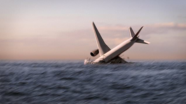
Investigators believe the final signal likely occurred shortly before the aircraft exhausted its fuel supply and crashed into the southern Indian Ocean.
The initial response to the disappearance was plagued by confusion and delay.
Search and rescue operations were not fully activated until several hours after the last contact, and early efforts focused on the South China Sea based on the aircraft original flight path.
As new information emerged, it became clear that the plane had dramatically altered course, forcing authorities to expand the search westward into the Strait of Malacca and the Andaman Sea.
What followed was an unprecedented international effort involving 26 countries.
At its peak, the operation included dozens of aircraft, helicopters, and naval vessels, as well as satellite resources from multiple nations.
Search teams covered an area of approximately 7.7 million square kilometers, making it one of the largest and most complex searches ever conducted.
On March 15, Malaysian officials confirmed that satellite data indicated the aircraft had continued flying for hours after it vanished from radar.
Analysts identified two potential corridors, one stretching north toward Central Asia and the other extending south into the Indian Ocean.
Further analysis increasingly pointed toward the southern route, a vast and remote region characterized by extreme depths, harsh weather, and minimal maritime traffic.
Nine days later, Malaysian authorities announced that Flight MH370 had ended in the southern Indian Ocean with no survivors.
The announcement devastated families, many of whom had gathered in Beijing and Kuala Lumpur in hopes of receiving good news.
The manner of notification sparked outrage when some relatives learned of the conclusion through text messages rather than personal contact.
The search continued nonetheless.
Between 2014 and 2016, an extensive underwater operation led by Australia mapped approximately 279,000 square kilometers of seabed using advanced sonar technology.
The effort relied on towed pinger locators and deep sea mapping vessels to scan the ocean floor for signs of wreckage or black box signals.
Despite the scale and cost of the operation, no major debris was located.
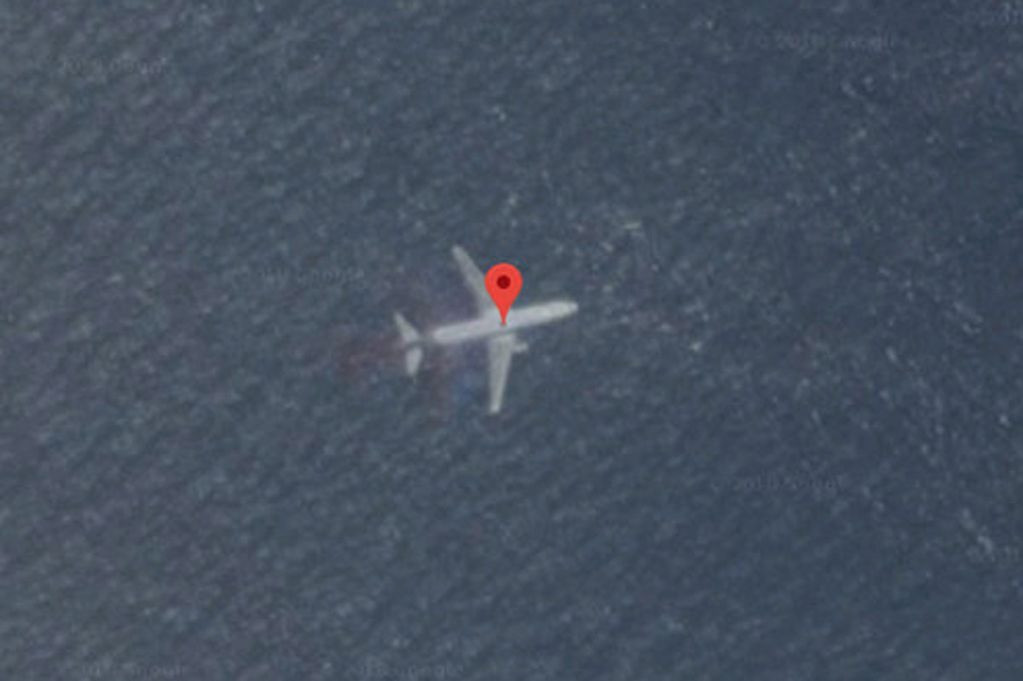
A breakthrough of sorts occurred in July 2015 when a flaperon from the aircraft wing washed ashore on Reunion Island.
The discovery confirmed that the aircraft had indeed crashed in the Indian Ocean.
Over time, more than 20 additional pieces of debris believed to be from MH370 were recovered along the coasts of Africa and nearby islands.
Ocean current modeling supported the theory that the debris originated from a crash site in the southern Indian Ocean.
In January 2017, after spending approximately 155 million dollars, authorities officially suspended the underwater search.
Malaysia bore the majority of the cost, followed by Australia and China.
For families, the suspension represented yet another painful chapter in a story defined by uncertainty and unanswered questions.
In 2018, a private exploration company, Ocean Infinity, launched a renewed search using autonomous underwater vehicles.
These robotic systems were capable of operating at great depths for extended periods.
The mission covered an additional 112,000 square kilometers but failed to locate the wreckage.
While unsuccessful, the operation produced some of the most detailed maps of the Indian Ocean floor ever created, contributing valuable data to oceanographic research.
Hope resurfaced in 2025 when Malaysia approved another search effort, once again partnering with Ocean Infinity.
This new mission was structured as a no find no fee agreement, under which the company would receive payment only if the wreckage was located.
The potential reward was set at 70 million dollars, creating a powerful incentive to succeed.
The renewed search relies on cutting edge technology unavailable during earlier efforts.
Ocean Infinity deployed a newly built vessel equipped with a fleet of advanced autonomous underwater vehicles manufactured by Kongsberg.
These drones are capable of diving to depths of up to 6,000 meters and operating autonomously for nearly 100 hours.
Each vehicle is fitted with multiple sonar systems, including side scan sonar, synthetic aperture sonar, multibeam sonar, and sub bottom profilers, enabling detailed imaging of the seabed and objects buried beneath sediment.
The current search zone spans approximately 15,000 square kilometers in the southern Indian Ocean, including areas never previously examined.
The selection of this region is based on refined data models developed over the past decade, incorporating satellite handshakes, ocean drift analysis, and new signal interpretation methods.
One of the more controversial tools influencing the search is Weak Signal Propagation Reporter technology.
Originally designed for amateur radio enthusiasts, the system tracks how radio signals travel through the atmosphere.
Some analysts believe disruptions in these signals may have been caused by the pᴀssage of Flight MH370, offering clues to its final trajectory.
While the theory remains debated, it has contributed to narrowing the potential crash location.
The terrain within the new search area is among the most challenging on Earth.
Underwater mountains, steep ridges, volcanic features, and deep canyons dominate the landscape, with depths reaching more than 7,000 meters in some locations.
Experts believe the aircraft may have impacted a sloping seabed rather than plunging into a flat abyss, potentially explaining why wreckage has remained concealed for so long.
Operations in the region are limited by severe weather and narrow seasonal windows, with optimal conditions occurring only a few months each year.
The mission is expected to take up to 18 months, requiring careful coordination and precise deployment of multiple underwater vehicles simultaneously.
Despite the technological advances, uncertainty remains.
Some experts caution that even the most sophisticated equipment cannot guarantee success in such an extreme environment.
Others emphasize that each failed search has refined understanding and brought investigators closer to the truth.
For the families of those on board, the renewed effort represents more than a technical challenge.
It is a chance for closure after years of waiting and wondering.
The disappearance of Flight MH370 left behind not only unanswered questions but also a profound emotional void that has never fully healed.
As the search continues, the story of MH370 stands as a sobering reminder of the limits of modern technology and the enduring power of the unknown.
In an age of constant connectivity and surveillance, the loss of an entire aircraft without explanation remains almost unimaginable.
Whether the ocean will finally yield its secret remains uncertain, but for the first time in years, there is renewed hope that the final chapter of this tragedy has not yet been written.


