Unexplained Footage From the Mississippi River? Here’s What Scientists Actually Know
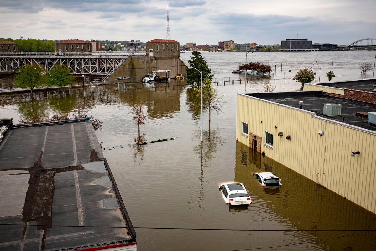
The Mississippi River has indeed experienced historically low water levels in recent years. Severe drought conditions in 2022 and 2023 reduced river depth to record or near-record lows in several locations, including Memphis and parts of Louisiana. Barges were stranded. Shipping slowed. Saltwater from the Gulf of Mexico pushed farther upstream than usual.
Those events were real — and serious.
However, claims that the river is rapidly draining into vast underground caverns that “appeared overnight” are not supported by mainstream geological evidence.

The primary driver behind low Mississippi River levels has been prolonged drought across much of the watershed, which drains about 41% of the continental United States.
When rainfall and snowpack decline across the Midwest, tributaries like the Missouri and Ohio Rivers deliver less water downstream. The result: reduced river depth, exposed sandbars, and shipping disruptions.
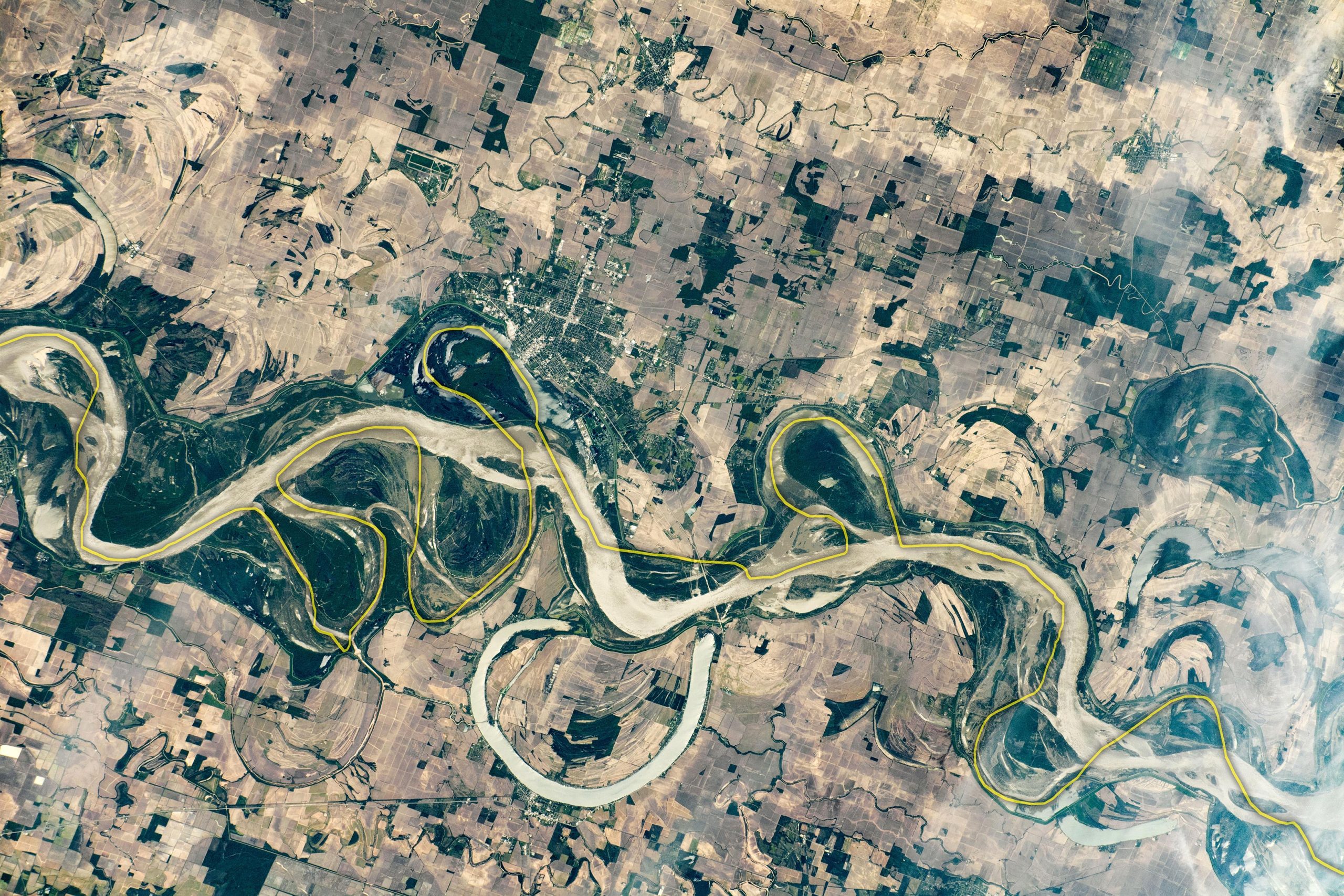
Satellite imagery from NASA and ESA has documented lower surface levels — but not evidence of mᴀssive, newly formed underground drainage systems swallowing 15–20% of the river’s flow.
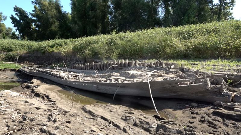
Sinkholes and bank collapses do occur along the Mississippi, especially in areas with soft sediment, shifting channels, or underlying limestone formations.
Parts of the Mississippi Basin do contain soluble rock (like limestone), which can form karst features — caves, voids, and sinkholes — over thousands to millions of years. These are natural geological processes.
However, there is no confirmed scientific consensus that the Mississippi River is undergoing rapid, large-scale bedrock dissolution that threatens to empty the river into underground caverns.
Localized erosion, subsidence, and bank failures happen — but they are not evidence of a continent-scale underground plumbing collapse.
One major issue that did gain attention was saltwater intrusion in 2023. When river flow weakens, denser saltwater from the Gulf of Mexico can move upstream beneath the freshwater layer.
This threatened drinking water supplies in parts of Louisiana. The U.S. Army Corps of Engineers responded by constructing underwater barriers (sills) to slow saltwater movement.
This was a hydrological management challenge — not evidence that the river is draining into hidden voids.
The video transcript suggests that industrial pollution has made the river acidic enough (pH ~5.8) to rapidly dissolve limestone bedrock.
In reality:
-
The Mississippi River typically maintains a near-neutral pH (around 6.5–8.5).
-
While pollution remains a serious environmental concern, widespread river acidity strong enough to rapidly dissolve major bedrock structures has not been documented at the scale described.
-
Limestone dissolution in natural systems generally occurs gradually over long timescales.
Industrial runoff and nutrient pollution (which contribute to the Gulf ᴅᴇᴀᴅ zone) are real problems — but they are not known to be causing rapid, basin-wide geological collapse beneath the river.
Bridges, levees, and pipelines along the Mississippi do face challenges:
-
Aging infrastructure
-
Subsidence in certain regions (especially near New Orleans)
-
Erosion during extreme weather
-
Increased stress from climate variability
But federal agencies like the Army Corps of Engineers, USGS, and state geological surveys continuously monitor these systems. There has been no verified announcement of systemic bedrock collapse threatening the entire river corridor.

Dramatic narratives thrive online for several reasons:
-
The Mississippi is iconic — any threat feels existential.
-
Climate anxiety amplifies fears of environmental tipping points.
-
Real issues (drought, subsidence, pollution) are blended with speculative claims.
-
Technical terms like “karst,” “voids,” and “subsurface drainage” sound alarming.
When legitimate environmental stress is combined with extrapolation, the result can feel like an unfolding catastrophe — even if the scientific evidence does not support that scale of danger.
The Mississippi River does face real, measurable challenges:
-
Increasing climate variability
-
Drought–flood extremes
-
Nutrient pollution
-
Coastal land loss in Louisiana
-
Aging levee systems
-
Navigation vulnerability during low-water events
These are serious. They require long-term infrastructure investment, watershed management, and climate adaptation planning.
But the claim that the river is “bleeding into underground chambers that appeared overnight” is not supported by verified hydrological data.

Environmental crises don’t need exaggeration to be urgent.
The Mississippi River is not vanishing into a hidden abyss. But it is vulnerable — to climate change, land-use decisions, and decades of cumulative environmental stress.
The real danger isn’t a sudden ghost river. It’s gradual instability, compounding risks, and infrastructure strain over time.
Understanding the difference between documented science and viral amplification is crucial — especially when public trust and policy decisions are involved.


